 Press Coffee
Unveiling the Impact of the Recent LA Earthquake
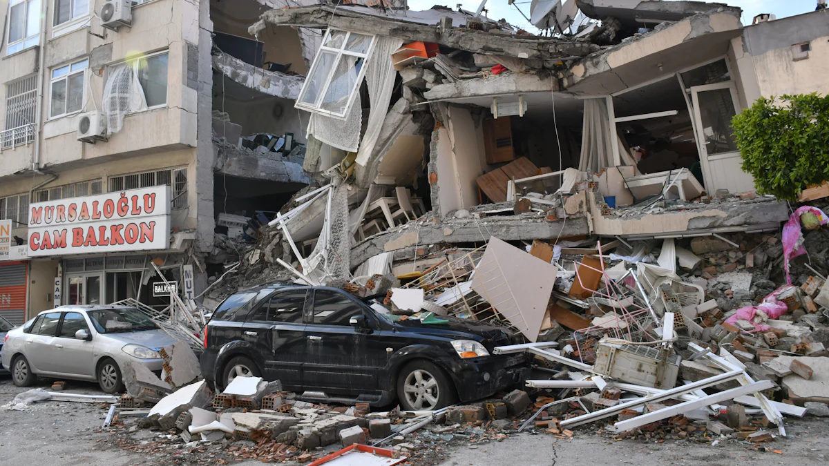
The recent earthquake near Pasadena sent ripples of concern through Los Angeles County as a preliminary 4.4-magnitude quake struck on Monday morning. The U.S. Geological Survey confirmed the quake, which occurred around 12:20 p.m. at a depth of nearly six miles with its epicenter located in Highland Park. Although initially recorded as a 4.7 magnitude tremor, it was swiftly downgraded. The effects were widely felt across the region, from downtown L.A. to Inglewood and even reaching Glendora and Hemet, highlighting the seismic sensitivity of Southern California.
Local news stations like KABC7 provided coverage of the event, capturing the immediate aftermath and community responses. Reports emerged from KNBC4 about an individual trapped in Pasadena City Hall due to burst water pipes following the quake. Despite these localized incidents, a CalTech spokesperson suggested that they were likely unrelated to the earthquake itself, emphasizing the complexity of assessing seismic events and their consequences.
Magnitude Confirmation by USGS
USGS Confirmation of 4.4 Magnitude
The U.S. Geological Survey (USGS) plays a crucial role in confirming earthquake magnitudes, providing valuable insights into seismic events like the recent one near Pasadena. The confirmation process involves sophisticated monitoring equipment that detects ground motion and records seismic waves emitted during an earthquake. By analyzing these data, the USGS can accurately determine the magnitude of an earthquake, as was done with the 4.4 tremor in Los Angeles County.
The significance of the 4.4 magnitude lies in its representation of the energy released during the earthquake. Magnitudes are measured on a logarithmic scale, meaning that each whole number increase corresponds to a tenfold increase in amplitude and approximately 31.6 times more energy release. Therefore, a 4.4 magnitude quake releases significantly more energy than smaller tremors and can cause noticeable shaking and potential minor damage.
In terms of seismic activity in the region, a 4.4 magnitude earthquake serves as a reminder of Southern California’s tectonic vulnerability. While this event may not have caused significant damage, it underscores the need for preparedness and awareness among residents living in earthquake-prone areas like Los Angeles County. Additionally, it raises questions about potential aftershocks or future larger earthquakes that could have more severe consequences.
Geological Analysis by Dr. Lucy Jones
Insights from Seismologist Dr. Lucy Jones
Dr. Lucy Jones, a renowned seismologist, provided valuable insights into the recent earthquake near Pasadena, shedding light on its geological implications. Dr. Jones assessed the earthquake’s location within the broader context of Southern California’s complex fault systems, emphasizing the seismic activity that characterizes the region. By pinpointing the epicenter and analyzing the seismic waves generated, she could offer a more detailed understanding of the event.
One key aspect highlighted by Dr. Jones was the presence of the lower Elysian Park Fault in proximity to where the earthquake occurred. This fault line, although not as well-known as others in the area, plays a significant role in shaping seismic activity in Los Angeles County. Understanding and mapping such lesser-known faults are crucial for improving earthquake predictions and preparedness efforts.
The identification of fault lines like the lower Elysian Park Fault can have far-reaching implications for future earthquake forecasts and risk assessments. By studying these fault systems and their interactions, seismologists like Dr. Jones can better predict potential scenarios for seismic events in Southern California. This knowledge is instrumental in developing strategies to mitigate risks and enhance community resilience against earthquakes.
Extent of Shaking
Shaking Felt in Distant Areas
The impact of the recent earthquake near Pasadena extended far beyond its epicenter, with reports indicating that shaking was felt in distant areas such as San Diego, Santa Barbara, and Riverside County. This widespread reach underscores the significant magnitude and energy release of the 4.4 tremor, highlighting the interconnectedness of seismic events across Southern California.
Analyzing the earthquake’s reach beyond the epicenter provides valuable insights into how seismic waves propagate through different geological formations. Factors such as soil composition and distance from the epicenter influence how strongly tremors are felt in various regions. Understanding these dynamics is crucial for assessing potential risks and vulnerabilities in areas that may be more susceptible to seismic activity.
The implications of widespread shaking on earthquake preparedness are profound, emphasizing the need for comprehensive readiness strategies across a broader geographic area. Communities outside the immediate vicinity of the earthquake must also prioritize resilience measures to mitigate potential damage and ensure public safety. Enhanced coordination between regions, improved early warning systems, and robust infrastructure standards are essential components of effective earthquake preparedness efforts.
Reflecting on the LA Earthquake Aftermath
Assessing the overall impact of the earthquake near Pasadena, which was initially reported as a 4.6 magnitude by the USGS and later downgraded, reveals both the resilience and vulnerabilities of communities in earthquake-prone regions. While this event did not result in significant damage or injuries, it serves as a stark reminder of the unpredictable nature of seismic activity in Southern California.
The aftermath of the LA earthquake prompts a consideration of lessons learned for future seismic events. It underscores the importance of public awareness, preparedness, and adherence to safety protocols to minimize risks during earthquakes. Community engagement and education play pivotal roles in enhancing response capabilities and reducing potential harm in similar situations.
Continued monitoring and preparedness in earthquake-prone regions are paramount for safeguarding lives and infrastructure against future seismic events. Investing in advanced warning systems, conducting regular drills, and strengthening building codes are essential measures to mitigate the impact of earthquakes. By prioritizing proactive strategies and collaboration between stakeholders, communities can enhance their resilience to seismic hazards.